Quickly I will just give an overview of the trek and then just upload a bunch of photos.
For further explanation from one of many tour companies you can check out this link...SALKANTAY TOUR
Day 1) We arrived in the morning in a small town, Mollepata, where we met up with our porters (who are from the town), the cooks and guides were from Cusco. The majority of the first day was steady uphill starting probably around 2,900m and ending at 3,800 over the course of 6 hours. The majority of the trail was on a dirt road that basically ended at our first camp site (I think the total hiking for the day was 20+km).
Pictures after we arrived at our first campsite of both Salkantay and Umantay Mountains...

Salkantay

Salkantay

Salkantay

Crossing in to the first campsite

A porter unloading one of the donkeys at the campsite, with Umantay Mountain in the background

Dean, Sophie and Emily during our dirst day hiking
Day 2) This was the difficult day. First we woke up really early. The main reason was we had to trek from 3,800m to 4,600m in a very short time and our guides wanted us to finish all the uphill before the sun really came out. The top point was to an area known as the Salkantay Pass (the lowest possible area to pass between the Salkantay and Umantay Mountains. It also had an amazing view of the Salkantay Mountain, even though when we got to the top of the pass we couldn´t see the peak of Salkantay or Umantay (we were able to see them the day before and watch them disappear during the sunset). We also had the great pleasure of being able to view a pretty amazing avalanch of snow and ice come down from a glacier on Salkantay. From this point which we hit by 10am (I think the whole uphill was just over 2 hours, but 800 meteres straight uphill in that time is not to fun but less hard as the whole group thought). We spent the rest of the day descending a valley until we hit the campsite in the late afternoon and beginning to see the huge change in landscape from an almost tundra like terrain near the mountain pass to the border of the rainforest. The day in whole was only about 18km of walking but that first part was no picnic.

Myself, Sophia, Emily, and Dean after the 800m uphill (Dean was to lazy to jump)

Dean, Sophie (holding a picture of our friend Nuno from our Salt Flats trip), Emily and I at the top of the Salkantay Pass

Great view of the valley past the Salkantay Pass

The Avalanch that occured while we were taking pictures at the top

Descending down in to the jungle (pretty cloudy)

Check out the cool colors of the flowers and rocks

Check out the cool colors of the flowers and rocks


Entering the Jungle

Wild Strawberries!! They were delicious!
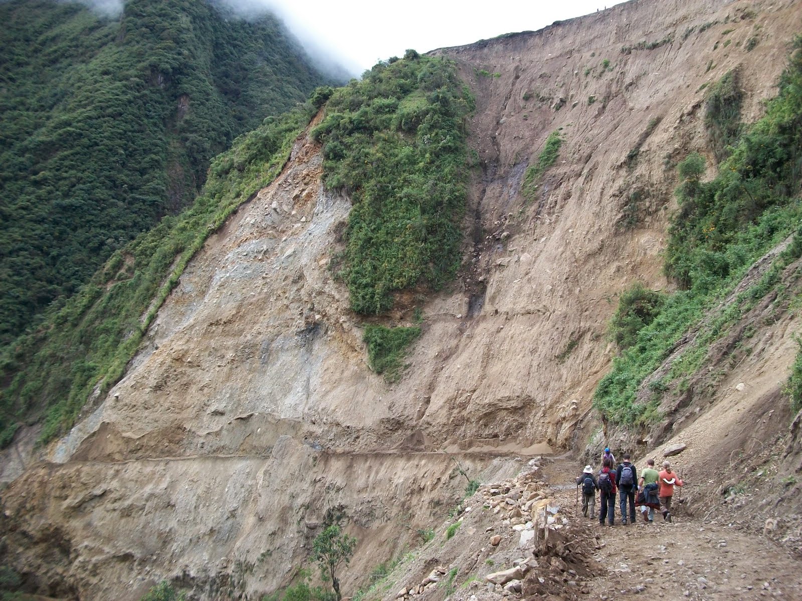
Result of January mudslides

Us on a bridge

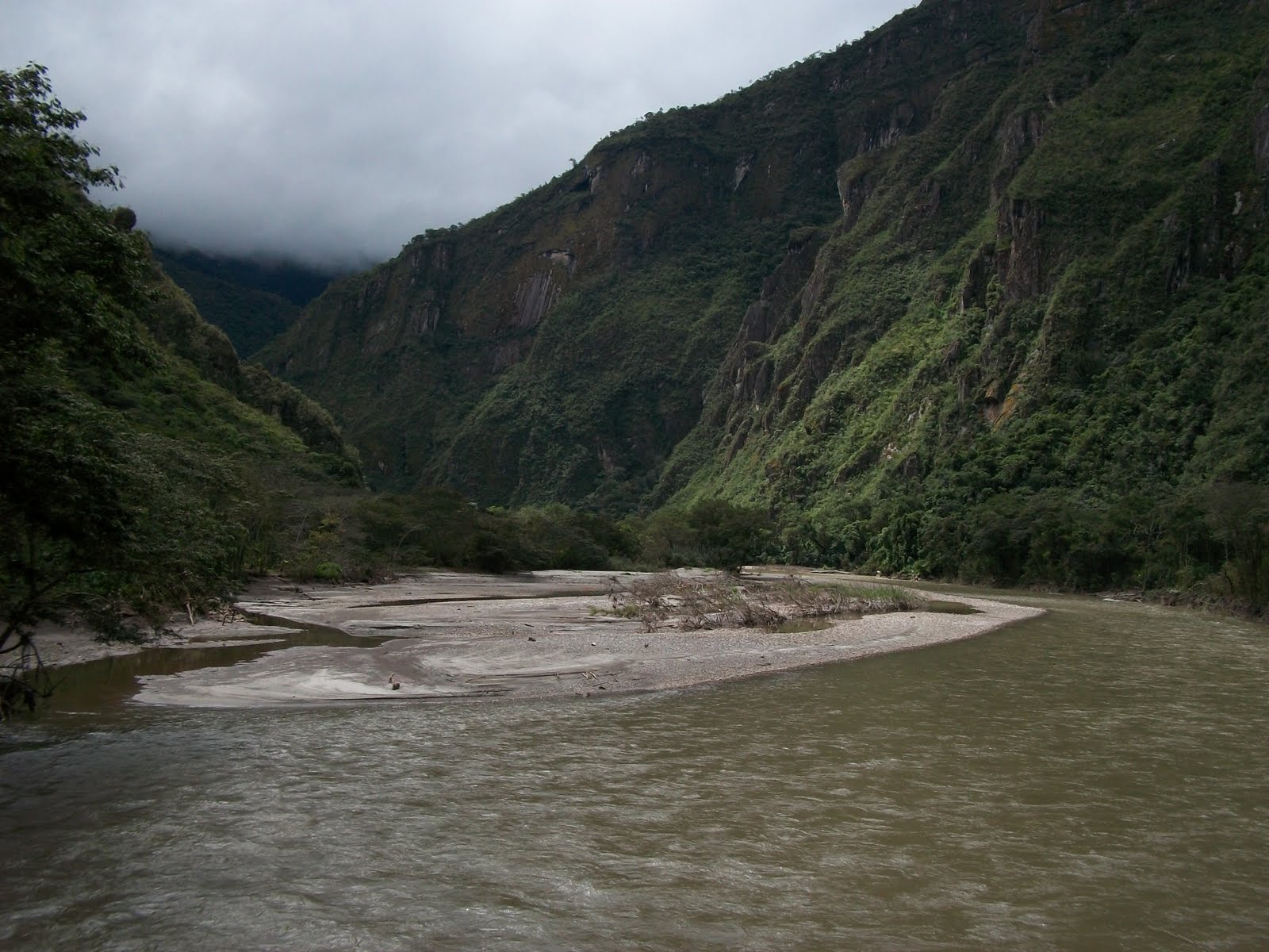
The jungle

Another bridge next to a waterfall

Look carefully at that leaf that is not another leaf on top of it

Craziest Turkey I ever saw

In January this river was much much larger (also another landslide from the January rain)

The metal basket going over the river

One of the groups going over the river before us, these Gringos decided to go over in style
We do have a video of us going over the river in the basket, maybe eventuallyI will be able to upload it

Water pouring out of the mountain side from a nearby hydroelectric plant

Another waterfall created by the hydroelectirc plant
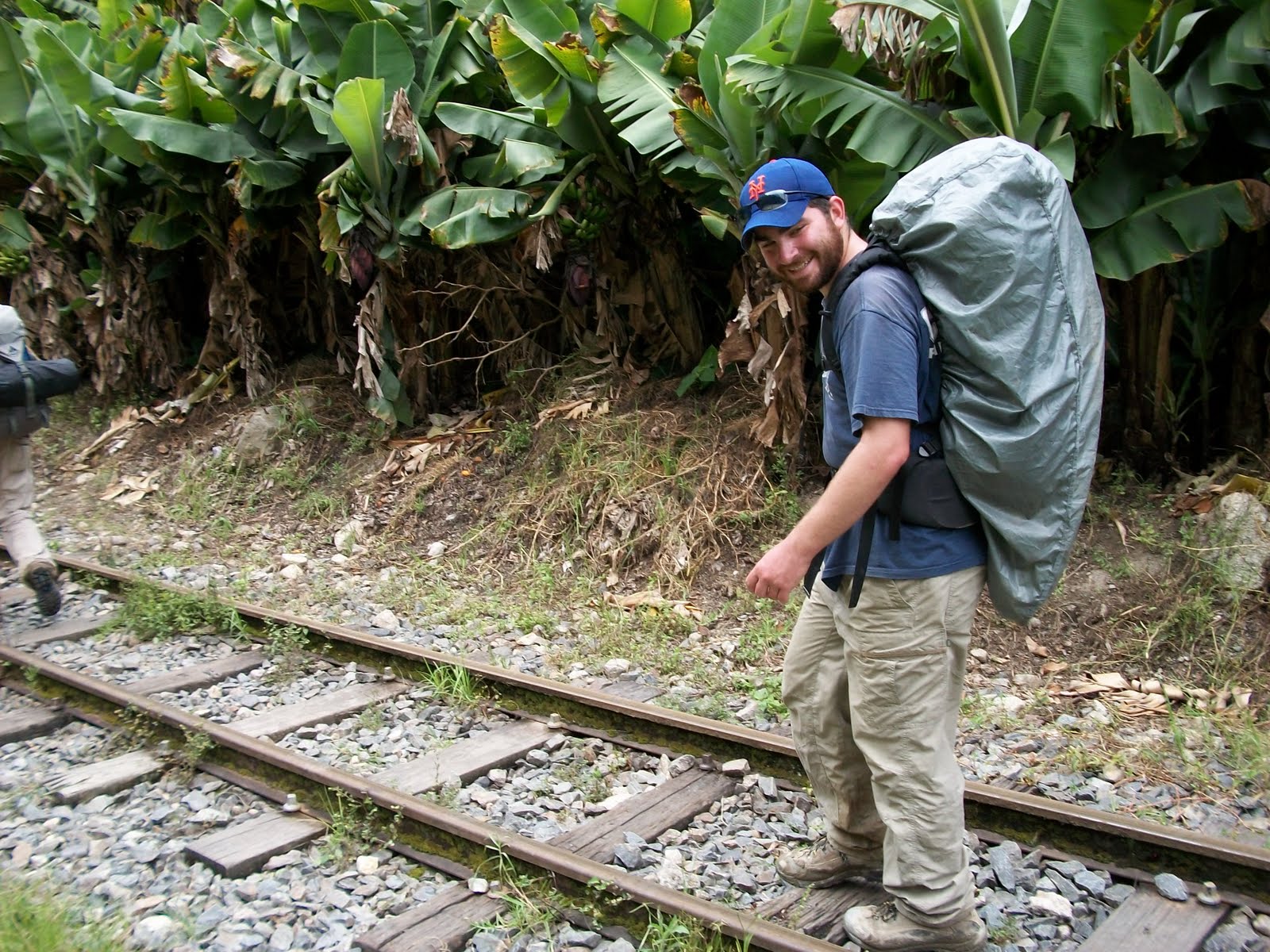
Walking on the train tracks


Can´t really tell from the photo but in the distance on the mountain side are some ruins from Machu Pichu


No comments:
Post a Comment